Overview
The Sotetsu Main Line (SO) runs 24.6 km west from Yokohama to Ebina in 18 stations. It began as a freight railway. The Jinchu Railway opened its first section, Futamata-gawa to Atsugi, on 12 May 1926 to carry gravel dug from the Sagami River, and built east towards the port in stages until it reached Yokohama on 27 December 1933. Sagami Railway — Sotetsu — absorbed the Jinchu Railway in 1943, handed its management to Tokyu from 1945 to 1947, and then watched the farmland along the line become Yokohama's western suburbs. Double track was laid a section at a time from 1951 and reached Ebina in 1974; the gravel trains ended in 1964, when digging in the river was banned, and the last freight ran in 1998.
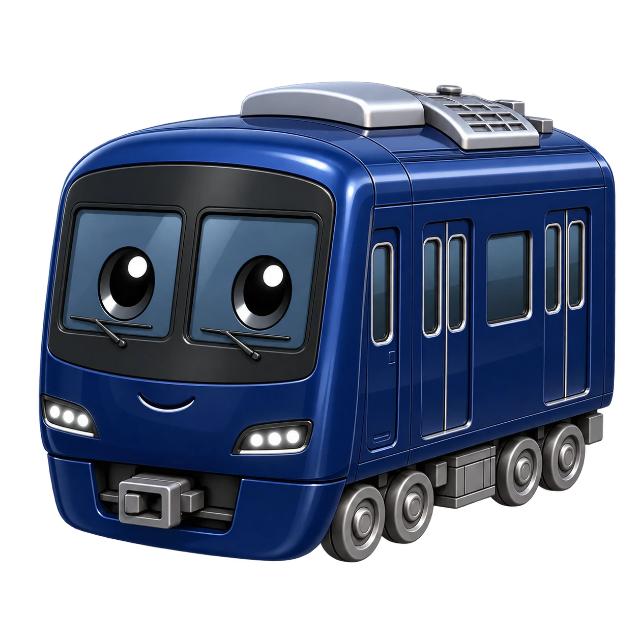
For decades the line was a self-contained commuter railway feeding a single terminus at Yokohama. That changed at Nishiya, where the Sotetsu Shin-yokohama Line branches off: it opened to Hazawa yokohama-kokudai in 2019, with trains running on to JR, and to Shin-yokohama in 2023, with trains running on to Tokyu. Since spring 2016 Sotetsu has also been repainting its trains in a single deep blue, YOKOHAMA NAVYBLUE, as part of a company-wide redesign. The line itself was renamed from plain 本線 to 相鉄本線 in 2023.
Along the route
Sotetsu's Yokohama is a terminus of its own, four platforms on the second floor of the company's Joinus building. The line runs out beside JR, under the Hiranuma bridge that gives Hiranuma-bashi its name, to Nishi-yokohama, then curves away onto a viaduct to Tennocho, close to the old Hodogaya post town on the Tokaido road. From Hoshikawa it follows the Katabira River up its valley: Wadamachi, busy with Yokohama National University students, then Kami-hoshikawa, and a climb to Nishiya, where the Shin-yokohama Line tracks join from either side and the Tokaido Shinkansen crosses overhead without stopping.
Beyond Tsurugamine the line leaves the Katabira for the valley of its tributary, the Futamata River, and reaches Futamata-gawa, where the Izumino Line branches off to the south. Kibogaoka serves one of the first housing areas developed along the line after the war. The climb continues through a cutting to Mitsukyo, the highest station on the Sotetsu network, whose name records the point where three villages' boundaries met; the old border between the provinces of Sagami and Musashi ran past its Yokohama end.
West of Mitsukyo the line runs out along the Sagamino plateau. After Seya it crosses the Sakai River into Yamato and drops underground — a change made in 1993, partly to relieve traffic on Route 467 — to meet Odakyu's Enoshima Line. It surfaces again beside Naval Air Facility Atsugi, where jet noise can reach inside the train, and crosses the Tomei Expressway to Sagami-otsuka. Sagamino and Kashiwadai both took their present form in 1975, and Kashiwadai sits beside Sotetsu's Kashiwadai depot. Past the Sagami-Kokubun signal box, where the old freight branch to Atsugi leaves, the track descends the Sagami River terrace to Ebina, next to Odakyu's station.
Why play it
The Main Line has no long names — nothing runs past 13 keystrokes — so it is a rhythm line, and the rhythm is broken by readings. 天王町 is てんのうちょう, and ん before の needs a double n: te-nn-no. Two stations later, 和田町 reads the same 町 as まち. 上星川 follows 星川 two stops after it, so "hoshikawa" comes round twice. 西谷 is にしや, not にしたに.
Sotetsu writes 鶴ケ峰 and 希望ケ丘 with a full-size ケ, where many other sources print ヶ and the district of Kibogaoka is spelt 希望が丘 — three spellings of one が. In Kanji mode either ケ or ヶ is accepted. 三ツ境 mixes a katakana ツ with a 境 read きょう, 大和 is やまと, and 海老名 is えびな, with 海老 — "shrimp" — read as a single word. Near the end come さがみ野 and かしわ台, half hiragana: in Kanji mode the trick is to leave さがみ and かしわ unconverted and change only the last character.
Line data
Everything below is derived from the station data the game runs on, so it always matches what you actually type on the 相鉄本線 — all 18 stops of it.
- Operator
- Sagami Railway
- Line symbol
- SO
- Stations
- 18
- Shape
- Terminal to terminal
- Termini
- 横浜 — 海老名
How much typing is this?
Typing every station name on this line takes 171 keystrokes, an average of 9.5 per station. The longest name is 平沼橋 (hiranuma-bashi) at 13 keystrokes; the shortest is 瀬谷 (seya) at 4. Those counts come from running each name's kana through the game's own romaji engine, so they are what your fingers actually do — not the length of the printed spelling.
Along the way: 0 names contain a small っ, which doubles the next consonant; 2 contain a small ゃ, ゅ or ょ, where the engine accepts both the Hepburn and Kunrei spellings (sha or sya, shu or syu); and 0 end in ん, whose trailing n folds into whatever comes next rather than standing alone.
Where you can change trains
5 of the 18 stations on this line connect to another line in the game. Follow any symbol to that line's guide.
- 横浜JK 京浜東北線JO 総武快速・横須賀線JS 湘南新宿ラインJT 東海道線TY 東横線KK 本線B ブルーラインMM みなとみらい線
- 西谷SO 相鉄新横浜線
- 二俣川SO 相鉄いずみ野線
- 大和OE 江ノ島線
- 海老名OH 小田原線
Every station on the line
All 18 stations in order, with the official station number, the name in kanji, the kana the typing is derived from, and its Hepburn romaji.
| # | No. | Station | Kana | Romaji |
|---|---|---|---|---|
| 1 | SO01 | 横浜 | よこはま | yokohama |
| 2 | SO02 | 平沼橋 | ひらぬまばし | hiranuma-bashi |
| 3 | SO03 | 西横浜 | にしよこはま | nishi-yokohama |
| 4 | SO04 | 天王町 | てんのうちょう | tennocho |
| 5 | SO05 | 星川 | ほしかわ | hoshikawa |
| 6 | SO06 | 和田町 | わだまち | wadamachi |
| 7 | SO07 | 上星川 | かみほしかわ | kami-hoshikawa |
| 8 | SO08 | 西谷 | にしや | nishiya |
| 9 | SO09 | 鶴ケ峰 | つるがみね | tsurugamine |
| 10 | SO10 | 二俣川 | ふたまたがわ | futamata-gawa |
| 11 | SO11 | 希望ケ丘 | きぼうがおか | kibogaoka |
| 12 | SO12 | 三ツ境 | みつきょう | mitsukyo |
| 13 | SO13 | 瀬谷 | せや | seya |
| 14 | SO14 | 大和 | やまと | yamato |
| 15 | SO15 | 相模大塚 | さがみおおつか | sagami-otsuka |
| 16 | SO16 | さがみ野 | さがみの | sagamino |
| 17 | SO17 | かしわ台 | かしわだい | kashiwadai |
| 18 | SO18 | 海老名 | えびな | ebina |