Kyoto has joined the game. Two new lines — the Karasuma Line and the Tozai Line, the whole of the Kyoto Municipal Subway — add a third city alongside Tokyo and Osaka. Between them they cover 32 stations, and they are about as different from each other as two lines in one small network can be.
Kyoto only has two subway lines — and that is the point
Kyoto is a grid city. Its streets run north-south and east-west, they are named, and locals navigate by naming two of them at once. The subway mirrors that exactly: one line down the middle, one line across, crossing once at Karasuma Oike. Almost everything else in Kyoto moves by bus, by Keihan and Hankyu, or on the JR lines out of Kyoto Station.
For a typing game that turns out to be a gift. Two lines, one interchange, and 32 station names that read like a map of the city.
The Karasuma Line: straight down the middle
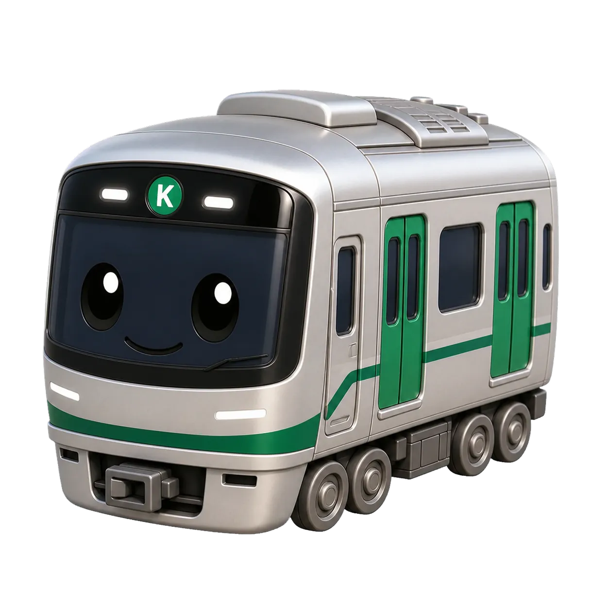
The Karasuma Line (K, green) opened in 1981 and reached its full length in 1997. Fifteen stations run about 13.7 km from Kokusaikaikan in the northern suburb of Iwakura down to Takeda, nearly all of it directly beneath Karasuma-dori. On the route map it is one of the straightest lines in the game — the only real bend is the hook northeast at the top end.
Its middle section is the city everyone visits: Imadegawa below the Imperial Palace, Marutamachi, Karasuma Oike, then Shijo and Gojo through the downtown blocks, then Kyoto itself — the JR and Shinkansen station, and by far the busiest stop on the line. Kintetsu trains carry on beyond Takeda towards Nara.
Typing it is a lesson in reading carefully. Look at the run of numbered stations:
- 四条 — shijo
- 五条 — gojo
- 九条 — kujo
- 十条 — jujo
Four names, each a kana or two apart, arriving one after another. Your fingers will want to autopilot through them, and autopilot is exactly what gets punished. At the northern end Kokusaikaikan waits with six morae of nearly pure vowel — ko-ku-sa-i-ka-i-ka-n — which is a completely different kind of hard: not ambiguous, just long and easy to lose your place in.
The Tozai Line: the one with the awkward readings
The Tozai Line (T, vermilion) is the younger line, opened in 1997 and extended west to Uzumasa-Tenjingawa in 2008. Seventeen stations, about 17.5 km, running west to east under Oike-dori and then swinging south after the hills. Every station has platform screen doors — a first for a Japanese subway when it opened — and Keihan's Keishin Line trains through-run onto it from Misasagi.
The western half is a straight shot: Uzumasa-Tenjingawa, Nishioji-Oike, Nijo (transfer to JR's Sagano Line), Nijojo-mae beside the castle, Karasuma Oike, Kyoto Shiyakusho-mae at the city hall. Then Sanjo Keihan and Higashiyama drop you at the foot of the sightseeing district, Keage climbs past the old Incline, and the line burrows under the hills to Misasagi and Yamashina before heading south through Ono, Daigo — for Daigo-ji — and out to Rokujizo.
This is the harder of the two to read, and the reasons are specific:
- 椥辻 (Nagitsuji) uses a kanji you will meet nowhere else in the game.
- 御陵 is read misasagi, not goryo — an old word for an imperial tomb, and a reading that will catch you out at least once.
- 京都市役所前 (Kyoto Shiyakusho-mae) is nine morae of municipal officialese.
Between those sit Ono and Daigo, two of the shortest names on any line in the game. The rhythm keeps breaking, which is exactly what makes it useful practice — steady pace beats burst speed here.
Why Kyoto is its own network
There is a technical reason Kyoto appears as a separate region on the route planner, and it is a nice illustration of how the game identifies stations.
A physical station is identified by its Japanese name, because line-scoped codes like JY01 or K13 cannot be compared across operators. That works fine — until two cities use the same name. 十条 is a station on the Karasuma Line and on Tokyo's Saikyo Line. 九条 is on the Karasuma Line and on Osaka's Chuo Line. Left in one big graph, the route planner would happily "transfer" you from Kyoto to Tokyo at a station 370 km away.
So each city is its own network. You can plan a route across Kyoto's two lines, or across Tokyo's, or across Osaka's, but never between them — which is also how a real trip works, since you would take the Shinkansen or a JR limited express, not a subway transfer.
Where to start
Start with the Karasuma Line if you want a short, clean run with one nasty stretch in the middle, or the Tozai Line if you would rather be tested on readings. Full station lists, interchange notes and typing profiles are on the Karasuma Line and Tozai Line pages, and both maps are in the route map collection.
If you have already worked through Tokyo and Osaka, 32 stations is an afternoon. If you are heading to Kyoto, it is the fastest way to make the names on the platform signs feel familiar before you get there.