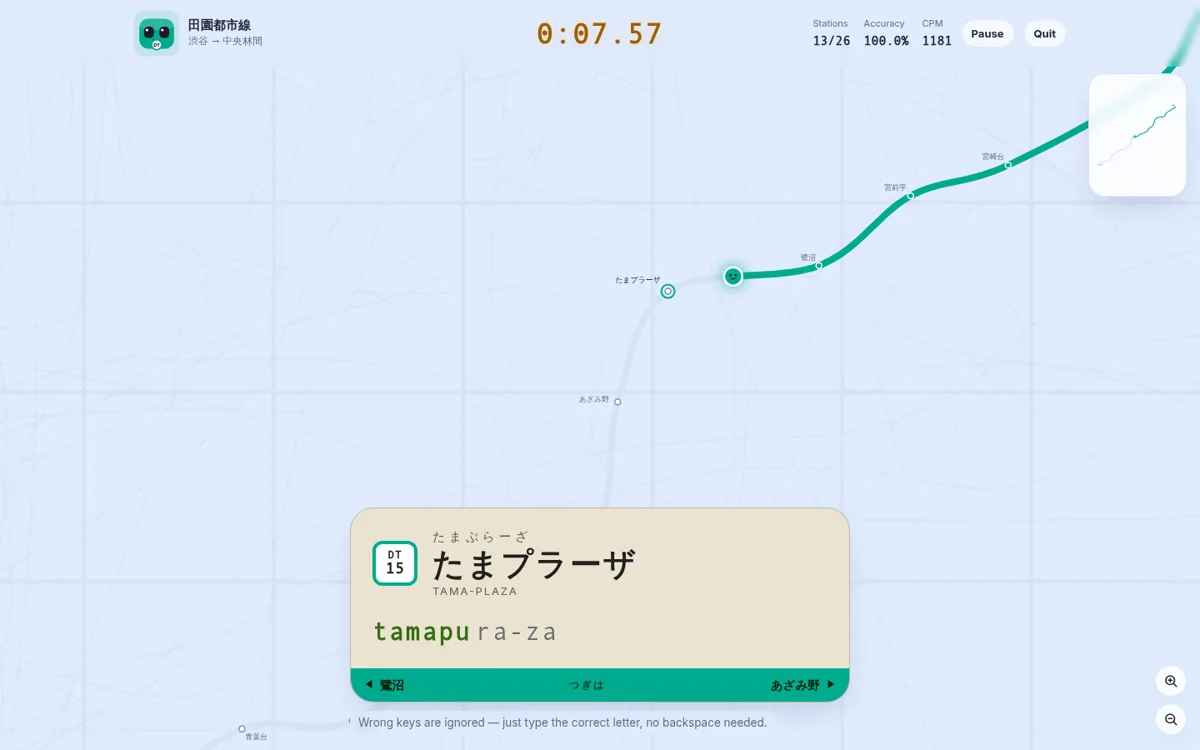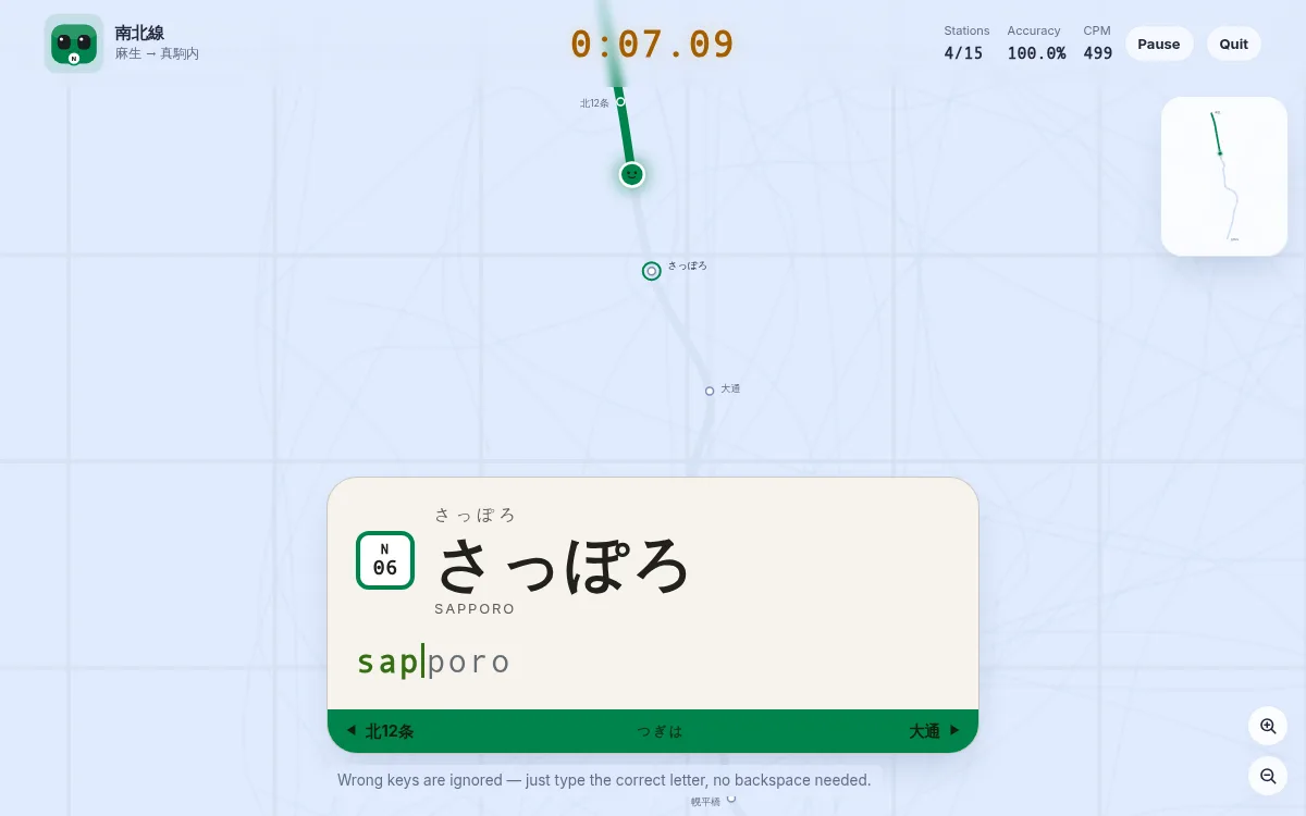
Sapporo has joined the game. Three new lines — the Namboku Line (16 stations, Asabu to Makomanai), the Tozai Line (19, Miyanosawa to Shin Sapporo) and the Toho Line (14, Sakaemachi to Fukuzumi) — make Sapporo the fifth city, alongside Tokyo, Osaka, Kyoto and London. That is the entire Sapporo Municipal Subway, and it is the only full-size subway in the game with no steel rails under it at all: it runs on rubber tyres.
Rubber tyres, and one rail down the middle
The subway opened on 16 December 1971, about six weeks before the Winter Olympics that arrived in February 1972 — the venues out at Makomanai were the reason the city built it at all. It was Japan's fourth subway and the first outside Tokyo, Osaka and Nagoya, and it was built to a design known ever since as the 札幌方式, the Sapporo method.
There are no steel rails and no track gauge in the usual sense. Trains run on rubber tyres across a flat running surface and are steered by a single guide rail down the centre of the track, gripped from both sides by horizontal guide wheels. The idea came from the Paris Métro, which struck the bureau's chief for how quiet it was — but Paris steers its rubber-tyred trains with two guide bars outside the running surfaces, and Sapporo moved them into one rail in the middle. It was the world's first full-scale system of the kind.
Snow shaped everything around it. Sapporo gets about 479 cm of snowfall in an average season — it is routinely called the snowiest city of over a million people in the world — which is why so much of the network went underground in the first place. Rubber was chosen for a different reason: stations were meant to sit about 300 m apart, tram-stop density, and rubber accelerates, brakes and climbs in a way steel on steel does not — quietly, too. Almost the whole network is underground, and the one stretch that is not, the 4.5 km from just south of Hiragishi down to Makomanai on the Namboku Line, is roofed for its entire length inside a snow shelter. Even the daylight section is enclosed.
The three lines
Namboku (N, green) is the original: 14.3 km down the spine of the city from the bus terminal at Asabu, past the numbered Kita-jo stations along the Hokkaido University side, through Sapporo, Odori and Susukino, over the Toyohira River at Horohira bashi and out to Makomanai.
Tozai (T, orange) is the longest line and the one with the most stations, 20.1 km entirely underground from Miyanosawa in the west — Shiroi Koibito Park is a short walk away — through Kotoni, Maruyama koen for the shrine and the zoo, and Odori, then east to Shin Sapporo, the easternmost subway station in Japan.
Toho (H, sky blue) opened in 1988 and was the last new railway line in Japan to open in the Showa era. It starts at Sakaemachi, the northernmost subway station in Japan, and finishes at Fukuzumi for the Sapporo Dome. It has no depot of its own: its trains sleep under the Tozai Line and deadhead through its tunnels to get there.
Odori, and the transfer made outside the gates
Odori is the only station where all three lines meet, and it is stacked as much as it is spread out — Namboku on B2, Tozai on B3, and Toho on B4 a block east, all of it inside the gates.
Sapporo, one stop north, is where it gets strange. The Namboku and Toho halves sit under different blocks, joined by a long sloping passage, and since September 2017 the change between them is made outside the gates: you exit and re-enter within 30 minutes, through dedicated gates that do not swallow your ticket. It freed the passage, which a fence for the paid corridor had split down the middle.
The result is a rule locals simply know: Namboku towards Asabu to Toho towards Sakaemachi can only be done at Sapporo, and Namboku towards Makomanai to Toho towards Fukuzumi only at Odori. Any other pairing means backtracking and a second fare.
Why さっぽろ is written in hiragana
The subway's central station is officially さっぽろ, and the Tozai Line's eastern terminus is 新さっぽろ — both in hiragana, while JR's stations next door are 札幌 and 新札幌 in kanji. That is the entire reason for the kana: they sit about 300 m apart at Sapporo, and spelling them differently keeps them apart.
The rule is applied narrowly and on purpose. The subway also has a 白石 and a 琴似, names it shares with JR stations too, but those are nowhere near their JR namesakes and nobody confuses them, so they keep their kanji.
What it is like to type
The numbered names are the trap, and not in the way you expect. On Namboku, 北34条 and 北24条 are kita-sanjuyo-jo and kita-nijuyo-jo — the 4 is よ — and then 北18条 arrives as kita-juhachi-jo. It is not a regular series, and fingers that just learned the first two guess wrong on the third. Tozai reads the same 24 differently again in 二十四軒, nijuyonken, and turns 18 into nishi-juhatchome at 西18丁目 — 丁目 changes the number that 条 leaves alone.
Then the run that trips everyone: 南郷7丁目, 南郷13丁目 and 南郷18丁目, three consecutive stops identical at both ends and different only in the middle — nango-nana-chome, nango-jusan-chome, nango-juhatchome. The line's one katakana name sits well to the west of them, just past Odori: バスセンター前, basu-senta-mae, whose long-vowel bar is typed as a hyphen.
Toho is the higashi line, and it means it: 環状通東, 東区役所前 and 北13条東 come one after another, three long names in which the higashi jumps to the front and straight back to the end again. It also has 豊水すすきの — hosui-susukino — a completely separate station from Namboku's すすきの a block away. Two names, one district, and one of them is twice the length.
Where to start
Take the Namboku Line for the numbered stations and the run out to Makomanai, the Tozai Line if you want the longest of the three and the Nango stretch at the end, or the Toho Line for the shortest run in the city. Full station lists and typing notes are on the Namboku, Tozai and Toho pages, and all three maps are in the route map collection.